
66.54360 N 25.84760 E ±6 m
A map that works
without a network.
Offgrid66 is a hiking map for Finnish Lapland. The topographic map, your track, your places and the emergency card keep working on your phone where the signal ends.
The App Store version is coming. The test version is shared through TestFlight.
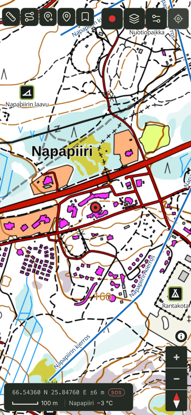
Download the area before you go.
Pick an area on the map or download the corridor of a saved route. The map, your places, routes and track recording then work without a network.
If something needs a network, the app says so plainly.
- Topographic map: National Land Survey of Finland
- Route corridor: 1 km on both sides
- Route along paths or drawn freehand
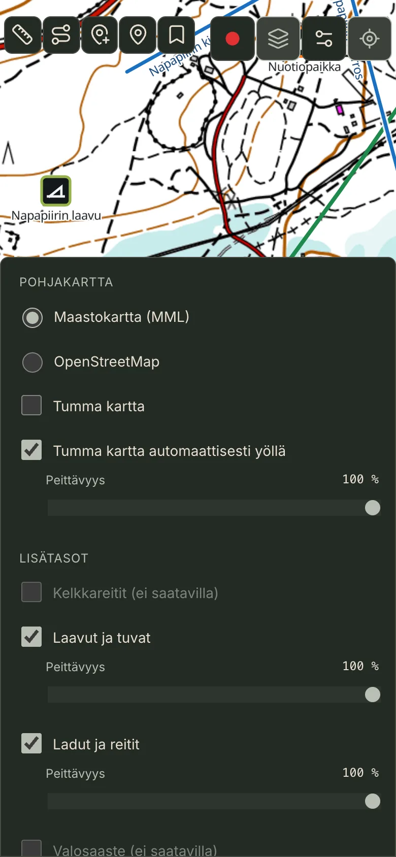
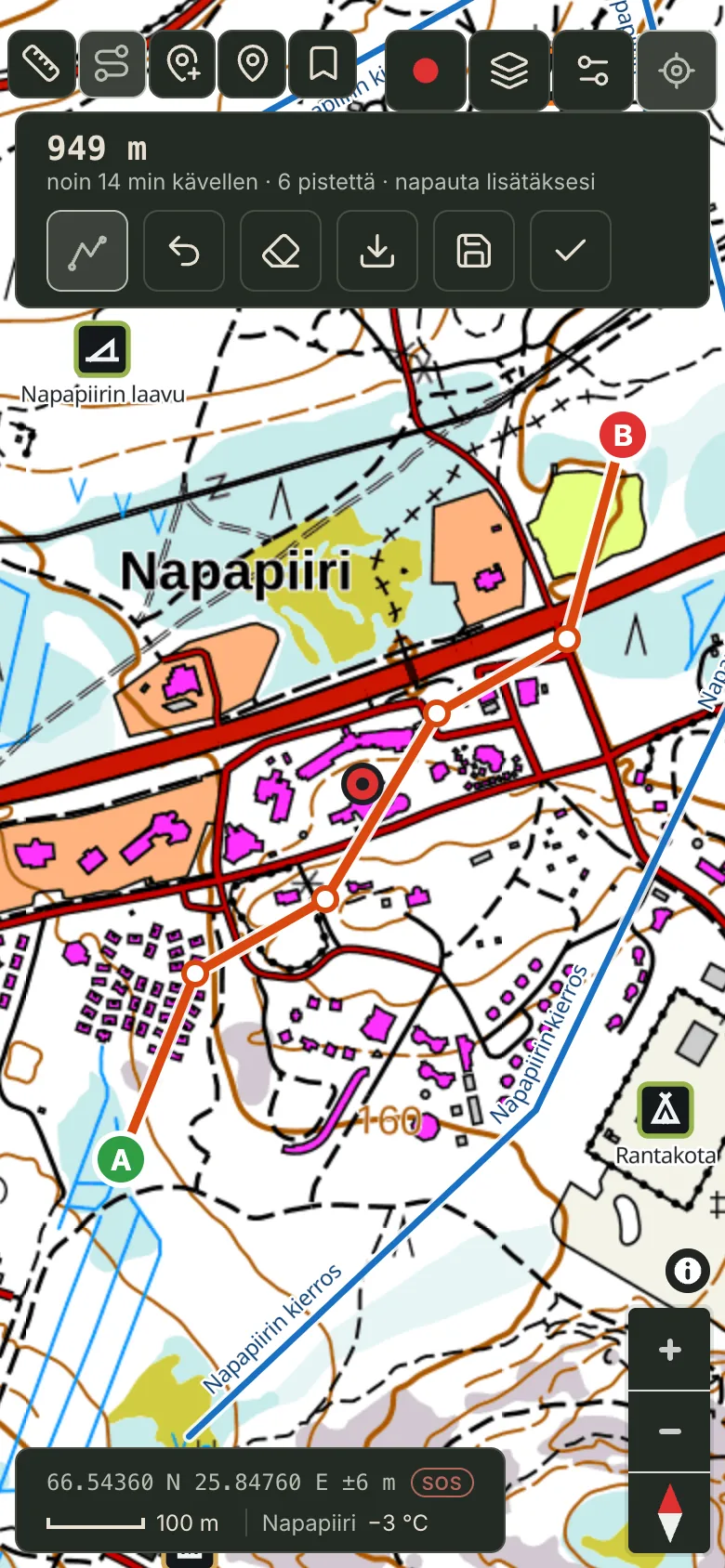
Your location is one tap away.
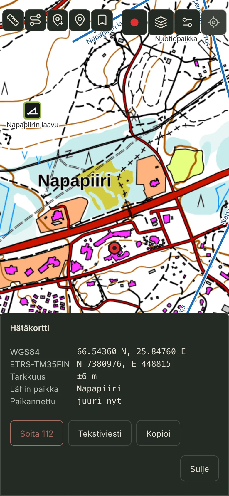
The coordinate line at the bottom ends in a red SOS. It opens the emergency card: your position in two formats, accuracy, the nearest place and how old the fix is. Call 112 or send a ready-made text message with your coordinates. The card works offline.
- WGS84
- 66.54360 N, 25.84760 E
- ETRS-TM35FIN
- N 7380976, E 448815
- Accuracy
- ±6 m
- Nearest place
- Napapiiri
- Fix
- just now
A fix older than 5 minutes turns red, and the card asks you to refresh it.
Will you be back before dark?
While you record a track, the REC panel shows sunset and the time to walk back along your track at 4 km/h. If the return runs past sunset, the line turns red.
The track keeps recording with the screen locked, and battery saver lets the screen sleep while you record.
REC 4.2 km · 1 h 12 min
Sunset 17:53 · back along the track 4.2 km ≈ 1 h 03 min
REC 4.2 km · 1 h 12 min
Dark before you are back. Sunset 16:40 · back 6.8 km ≈ 1 h 42 min
Markers you can tell apart with gloves on.
Fifteen place types. The shape tells what the place is. The colour tells the group: lodging, shelter, fire, water, view, sky and logistics.
 Home
 Wilderness hut
 Cabin
 Sauna
 Lean-to
 Kota hut
 Tent site
 Fireplace
 Spring
 Fishing spot
 Viewpoint
 Scenic spot
 Aurora spot
 Parking
 Other place
Shelters and huts
Lean-tos, huts and wilderness cabins from the LIPAS service. Save one as your own place with a single tap.
Ski tracks and trails
LIPAS ski tracks and outdoor trails as a green line. Updated weekly.
Temperature and place
The nearest village and the current temperature from the Finnish Meteorological Institute.
Aurora
At night the bottom line shows the nearest magnetometer reading and cloud cover.
Night mode
The map darkens on its own when the sun is more than 3° below the horizon.
GPX
Export a track or a route as a GPX file for other apps.
Safety is always free.
The basic tier is free. Pro adds offline maps and everything you need where the signal ends.
Free
€0
always
- Online map
- Your own places
- Measuring
- Sunset and time back
- Emergency card and 112
Offgrid66 Pro
€3.99/month
or €29.99/year, €2.50/month billed yearly
14-day free trial
- Offline maps and route corridors
- Background recording
- Routing
- LIPAS layers
- Aurora and weather
- Battery saver
- GPX
- Sync between devices